
For starters, a couple of questions. How is it that no one seems to have heard of Potato Lake, even folks who live within 50 miles of it? And again: Which Potato Lake are we talking about here? There seem to be two.
We found out about the Potato Lake(s) conundrum the day we hiked to Deep Lake, near Flagstaff. We met a trio of fellow hikers coming back from one of the Potato Lake(s) at a crossroads on that route. They set us straight.
“Don’t bother with this Potato Lake,” they advised. “Go to the Potato Lake near Payson.”
So we did.

It’s about a two-hour drive from North Central Phoenix. We left at 6 am. The Bush Fire in the Tonto National Forest in June kept us from taking the Phoenix to Payson route to Potato Lake via the Beeline (87), so instead took I-17 north to Camp Verde and cut east via Highway 260. This is a gentle, breathtaking 35-mile ridge with views of valleys and canyons on either side. We ran into little traffic and the well-spaced pullouts made it easy to pass slower vehicles as we rose to the Mogollon Rim.
At the T with 87 we headed left for a short distance to milepost 281 and a right-hand turn onto FR 300, the Rim Road.


Why do 1.7 miles on a gravel road seem like twice as far? Advice to those who lose heart or who don’t have a good mileage gauge (we didn’t): Once you pass a camping area for General Crook Trail, you are almost there.
Trail 9362T is what you want. Either turn left and make your own pull out close to FR 300 or descend a rutted left track into a small campsite parking area. (There were three RVs parked here when we entered.) Though we wandered throughout the virtually empty campground until we found the start of the trail into Potato Lake, you don’t have to. Walk to the end of the steeper right track down alongside the campsite parking lot, you’ll find the “road closed” sign that marks the start of your 5.5 hike into Potato Lake and back.


The trail is suitable for mountain bikes and horse traffic, but it seems little used even by foot traffic. You will be hiking a descent to the lake, 650 feet of elevation loss that is barely perceptible on the way in, a consistent climb on the way out. Other than blockages by fallen trees and brush, the walking conditions are good. We discovered a number of routes around such impediments on the left-hand downward side of the trail out. These are easier to distinguish (on the right side) on the way back.

As observed by Mare Czina in a post on her blog, arizonahiking.blogspot.com, which we used as our guide, this is a lovely woodlands path throught Gambel oaks, aspens, New Mexican locusts and conifers. What was most remarkable to us, however, was the understory of ferns — a veritable forest of them, in some cases shoulder height.
Czina is good at giving mile markers for the transitions, but our gps was apparently out-of-sync with hers. There are two you need to be on the lookout for. At 1.5 miles (or so) you will come upon two metal markers that alert you to a Y ahead. Bear left — the road less traveled. On the way back, remember this because the main road — the one you don’t want — swerves left. Ignore it.

At 1.8 miles (according to Czina’s calculations) or .3 miles further you’ll find a a marker for Forest Road 147B. Here you will soon enter an ecosystem that takes you alongside a fenced meadow for cattle. It is a truly beautiful, pristine byway. As my hiking partner Lynn remarked: “Cattle really have it good; I wouldn’t mind living in a place like this.”


We bordered the fenced meadow. There were no cattle in sight, and the only sounds were bird calls, the rush of the wind and the crunch of our feet. We were alone.
The fence finally cut off our path. There was a cattle gate on the left that we passed through, relocked, and then walked the final .2 miles down to the lake. Except we didn’t see it. I was busily looking left trying to find out how to get beyond the fence and access the gravel road rising beyond. Lynn was descending a lumpy grade to the right.
“Where are you going?” I asked.
“To read this sign.”
“What does it say?”
“Potato Lake,” she said.

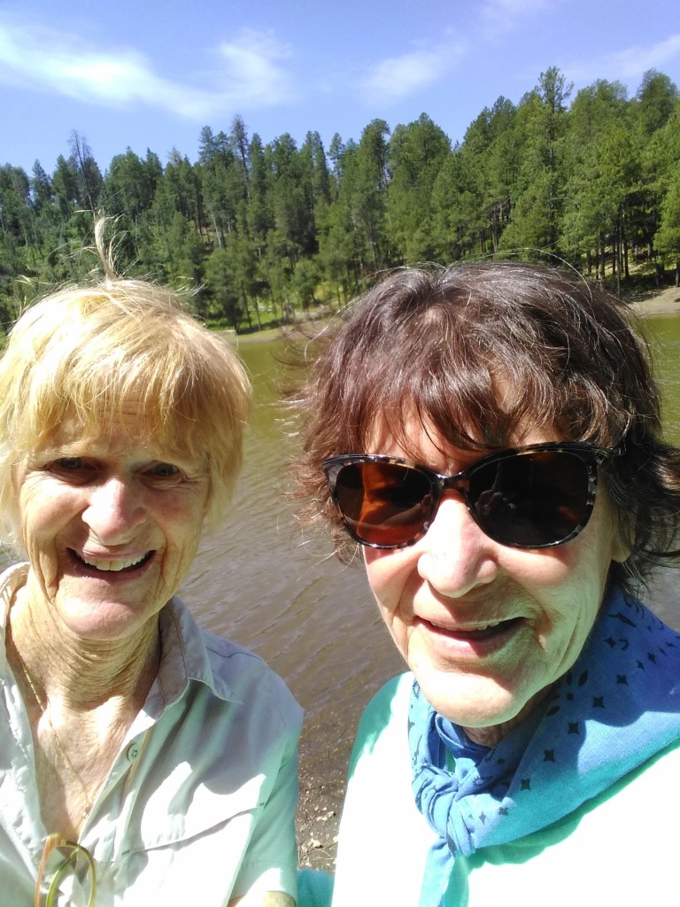
Cue right. We both looked up. There it was — filled with brown water. We found a log, sat down and ate our snacks. We basked in the solitude.
But here’s the Million Dollar Question: Potato Lake: How’d you get your name? Is it because you are shaped like a potato? You are brown like a potato? People found potatoes here? They grew potatoes here?
“We don’t know, but Potato Lake, you were sure worth the walk,” said Lynn.

Potato is a wild native root.
LikeLiked by 1 person
I’m getting educated here.
LikeLiked by 1 person
I really enjoy your hiking reports. For names and other details, call the Tonto National Forest’s main office or the local ranger station, who may know the answers to your questions. The brown water might be due to the geology of the lake’s immediate watershed or drainage (sometimes the vegetation growing below the water has an influence). In that area, I bet a local cattle rancher named the lake. As for those large dead tree trunks and branches that seemingly fell right on a posted closed trail, the Forest Service may have done that intentionally to restrict mountain bikes, horses, the occasional bad ATV driver, and public access. Keep up the great writing!
LikeLike
I will follow up. I haven’t got the best information lately calling the ranger stations. They are short handed due to the virus and the forest fires. When Mare wrote her post several years ago she centered her comments around the presence of crawdads in the Lake — invasive, troublesome. I believe you are right about the debris on the path.
LikeLike
Well it wasn’t this gringo turned cowboy
He cant spell
https://www.mentalfloss.com/article/64689/never-forget-time-dan-quayle-misspelled-potato
LikeLike
Two Potato Lakes! You must have forgotten all about Couch Potato Lake!
LikeLike